Or
was it the Navajo Nation's Monument Valley or Glen Canyon National
Recreational Area?
Whatever
it was, tomorrow will be Bryce Canyon National Park. But that's a
post for another day.
 |
| Does this remind you of John Wayne movies? |
 |
| In reality, this valley is very sacred to the Navajo people. |
We
spent a couple of days at the Navajo Nation's Monument Valley that's
located right at the Arizona and Utah states' line. This makes it
interesting because Arizona does not recognize daylight savings time
while Utah does. The park was in Arizona while the campground was in
Utah. Thought we were going to need two watches to keep our lives
straight but the Navajos recognize daylight savings time so the park
was in the same time zone as Utah.
 |
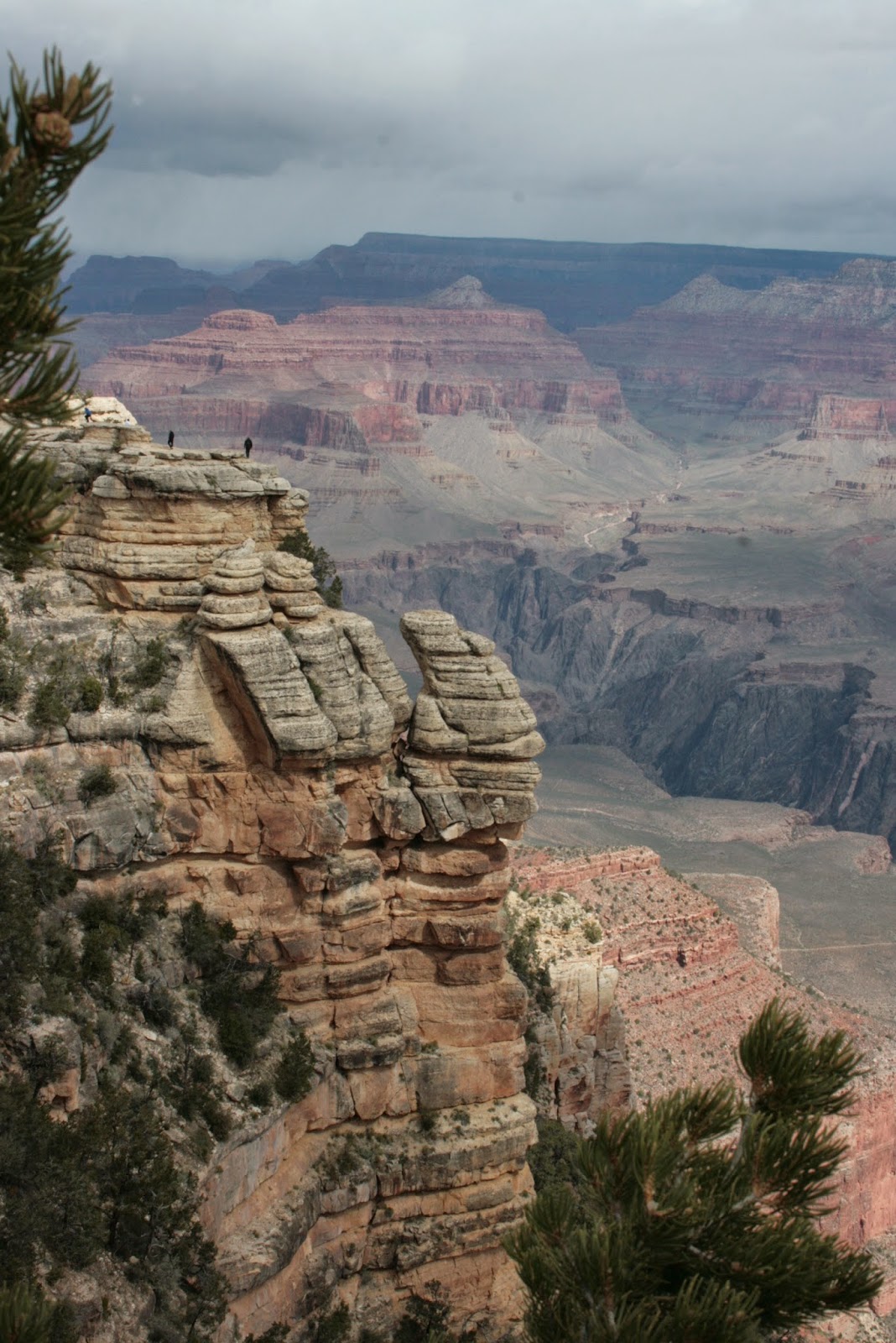
| The size and vastness of Monument Valley is awe inspiring. |
Another
amazing place! Remember the John Wayne movies (along with a whole
batch other movies) that showed tall buttes and spires in the
background? “The Searchers” and “Stage Wagon” were two
movies that come to mind. They were filmed in Monument Valley. Also
part of “Forrest Gump” and the third “Back to the Future”
were also filmed there. Now I'm going to have to watch those movies
again to watch the background.
 We
drove the 17 mile loop – thank goodness for the Jeep. It was a
fairly rough ride. Better than being in the tour guide open air
trucks! They were bumping along with kids jumping on a trampoline.
But the scenery was awe inspiring. Huge rock structures in all
shapes and sizes.
We
drove the 17 mile loop – thank goodness for the Jeep. It was a
fairly rough ride. Better than being in the tour guide open air
trucks! They were bumping along with kids jumping on a trampoline.
But the scenery was awe inspiring. Huge rock structures in all
shapes and sizes. |
| Bill & Lexi trudging up the sandy trail |
 The
second day there, we decided to take the dogs on a hike along the 4
mile trail that went around a butte. Very soft red sandy trail went
down, down, down before we leveled off. Noticed a herd of free range
goats that were being led by goats with bells around their necks and
protected by a good looking Australian shepherd dog. We walked along
and walked along, Belle smelling everything in sight while Lexi kept
her head in the air, and walked some more. That stupid butte never
got any closer to us the longer we walked. When we passed the 2
kilometer marker, we decided the dogs had gone far enough so we
turned around to head back. Bill looked over at a sand dune (a real
sand dune this time, not some mummified sand dunes that we had become
accustomed to seeing) and thought he saw a skinny rock right on the
side of the slope. I zoomed in on it with my camera – it ended up
being another dog, sitting there as still as a rock. He never moved
a muscle the whole time we walked by.
The
second day there, we decided to take the dogs on a hike along the 4
mile trail that went around a butte. Very soft red sandy trail went
down, down, down before we leveled off. Noticed a herd of free range
goats that were being led by goats with bells around their necks and
protected by a good looking Australian shepherd dog. We walked along
and walked along, Belle smelling everything in sight while Lexi kept
her head in the air, and walked some more. That stupid butte never
got any closer to us the longer we walked. When we passed the 2
kilometer marker, we decided the dogs had gone far enough so we
turned around to head back. Bill looked over at a sand dune (a real
sand dune this time, not some mummified sand dunes that we had become
accustomed to seeing) and thought he saw a skinny rock right on the
side of the slope. I zoomed in on it with my camera – it ended up
being another dog, sitting there as still as a rock. He never moved
a muscle the whole time we walked by.
Remember
the soft red sandy trail I mentioned above? We had to trudge back up
through all that damn sand! Up, up, and up some more, and I never
seemed to get anywhere. Even the dogs were having a hard time!
Well, obviously, we made it (or I'd be sending this post via mental
telepathy from the bottom of the hill). I decided no more hikes that
start down first!!
 |
| Glen Canyon dam |
From
Monument Valley, we drove only 170 miles to Page, AR (no daylight
savings time there) and spent a couple of days around the Glen Canyon
Rec Area. Page did not exist until 1956 when the government decided
to build a dam at the narrow canyon that the Colorado created. The
builders had a huge problem – this was one of the most remote
places in the United States at that time and getting across the
canyon meant a 200 mile one way trip. So, before the dam could be
started, a bridge had to be built across the canyon. And before the
bridge could be built, a narrow swinging walkway had to built. And a
town had to be established.
 |
| Horseshoe Bend of the Colorado River, just down river from the dam. And another soft sandy hike to get to. And it IS a LONG way down to the water. |
A
lot to do in a short amount of time. Took a few years, but
everything was done. The dam is just 16 feet lower than the Hoover
Dam and holds back water miles and miles up the Colorado River.
 |
| Me and the rock cairn I built by the Horseshoe Bend. I am leaving these little rock monuments everywhere we hike. |
The
main reason we stopped in Page is because we wanted to go through the
Antelope Canyon. It's on Navajo land and the only way to get there
is to go with a tour company. And wouldn't you know it, it rained
the day we signed up to go. At first, we weren't sure we were going
to be able to go. The canyon is so narrow, it's subject to flash
floods. Thankfully, it only sprinkled and we made it out there
without incident – or floods.
 |
| So narrow I could reach my hands out and touch both sides at the same time. |
The
canyon looks like something a modern artist would have made up. So
narrow you can stretch your arms out wide and touch both sides. Then
it's sculpted in fantastic shapes that swirl and twirl over your
head. Smoothed walls that came from eons of water rushing through
with sand and debris acting as sandpaper finely sanding the walls.
The canyon is ½ mile long and about 100 feet high – when the
floods wash through, the water will reach the top of the canyon.

 |
| Looking up towards the top of the canyon. |
We
weren't the only ones who enjoyed the walk through the canyon.
Again, we heard any number of different languages spoken. On our
little tour truck, we had an oriental couple and we think a German
couple. I think we were the only Americans on that tour!

 |
| Finally - all the people moved out of the way. I had seconds to take this picture before another mob of people got in the way. |

And
the same thing in Zion National Park – almost more foreign language
speakers than English. I lost track of how many languages we think
we heard!
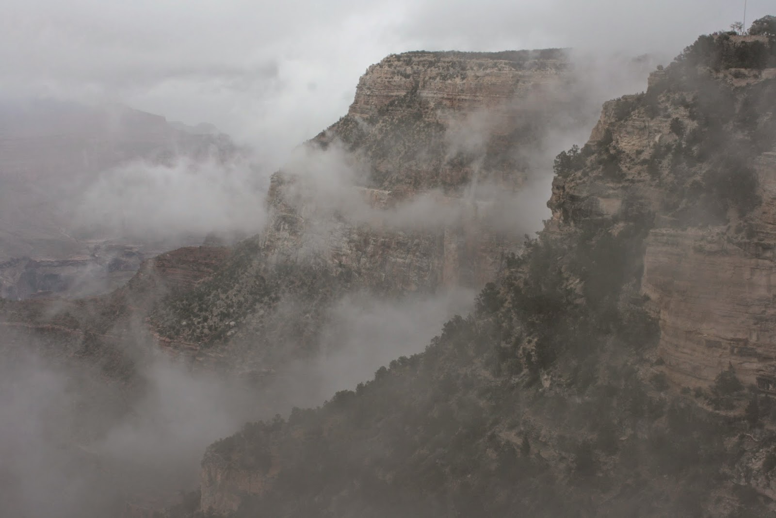
Okay,
how do I describe Zion? A huge series of rock formation mountains?
A beautiful river that flows through it? Hidden pools of water? A
narrow canyon the only to hike is to walk through the river? A very
high area called Angel's Perch that's reached by hiking a series of
27 sharp switchbacks? Vast views of orange colored canyons? Very
narrow roadways through fascinating rocky formations? A very long
and very dark tunnel?
That's
a good start! I think I will let the pictures speak for themselves.
Until
next time . . .
 |
| View of Zion as you drive in from the east. |

 |
| The colors were gorgeous - too bad it was a cloudy, rainy day. |


 |
| The river that carved this canyon over million of years. |
 |
| The whisper of a waterfall that falls from the upper Emerald Pools to the lower Emerald Pool. We hiked to all three. |
 |
| As I put one foot in front of the other - was I going up the trail or down the trail? |
 |
| The upper Emerald Pool. So still, Bill took this mirror image picture. |